Course Description
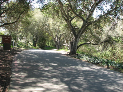
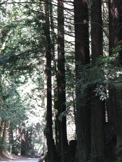
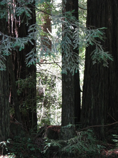
The course begins on the paved road into Aptos Village Park and follows it up a short hill to Aptos Creek Road. Runners stay on Aptos Creek Road as it winds through a heavily forested area with scattered residences, and will go down and up a short dip where the road crosses a creek. The road turns from paved to dirt surface one mile into the race, as runners pass the Nisene Marks State Park entrance station. The course remains on the Aptos Creek Fire Road until the turnaround point, just a little ways past the West Ridge Trail Junction. On the way back, runners turn onto the single track Buggy Trail near George’s Picnic Area, which climbs onto the hillside above the fire road before dropping back down to rejoin it a little less than half a mile later. From there it’s an easy trip back to Aptos Village Park, the same way you came in.
Miles 1-4 will be clearly marked with large, sawhorse-style signs, and an SCTC volunteer will be posted at each sign to call split times. There will also be volunteers posted at the turnaround and at the beginning and end of the Buggy Trail to ensure that you remain on the course. With the exception of the section on the Aptos Village Park driveway (right after the start/before the finish) and the Buggy Trail, you will be on Aptos Creek Road for the entirety of the race. Please remain in the main roadbed; do not shortcut the course on side trails. Residents along the course have been notified that the race is taking place, and there will be signs warning drivers of runners’ and walkers’ presence, but the road will not be closed. Please observe good road/trail etiquette (i.e., keep right unless directed to do otherwise, call out before passing on single track trails) and keep aware of your surroundings at all times.
There are two bathrooms on the course: One near the entrance kiosk for Nisene Marks State Park (just short of Mile 1 on your way out; near Mile 4 on the way back) and one at George’s Picnic Area (near Miles 2 and 3). Both are permanent, State Park-maintained facilities located on the other side of the kiosk and picnic area parking lots (respectively). They are painted brown and might be a little difficult to spot, but they are there!
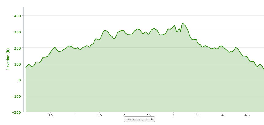
Course Profile
Aid Stations
Water will be available near the turnaround at the West Ridge Trail junction approximately 2.5 miles in. Food will not be available, so please bring your own gels, bars, or snacks if you expect to need additional calories on the course. Fleet Feet carries a variety of gels, chews, bars, and electrolyte drinks, so you may want to purchase those when you pick up your race packet on Saturday.


